Coast: yellow wave and coastal flooding alert until Wednesday midday in the Alpes-Maritimes
Translated from French. The Météo-France bulletin issued on Tuesday at 4:01 pm keeps the department at yellow level this Wednesday for waves and coastal flooding and for avalanches. Opened on Tuesday at 8 pm, the coastal alert runs until Wednesday midday, with gusts of up to 60 km/h around Menton and 55 km/h at Théoule-sur-Mer.
Translated from the French original. Lire en français
The sea remains the point of vigilance this Wednesday in Cannes. In its bulletin issued on Tuesday, 17 November at 4:01 pm for Wednesday, 18 November, Météo-France places the Alpes-Maritimes under a yellow alert for two distinct phenomena: waves and coastal flooding on the coast, and avalanches in the mountainous interior. The department is one of 60 at yellow level in the bulletin, far from the two departments at orange level for rain and flooding, Pas-de-Calais and Somme. The yellow level corresponds, in the official definition, to phenomena that are usual in the region but occasionally and locally dangerous, and which call for keeping up with how the situation develops.
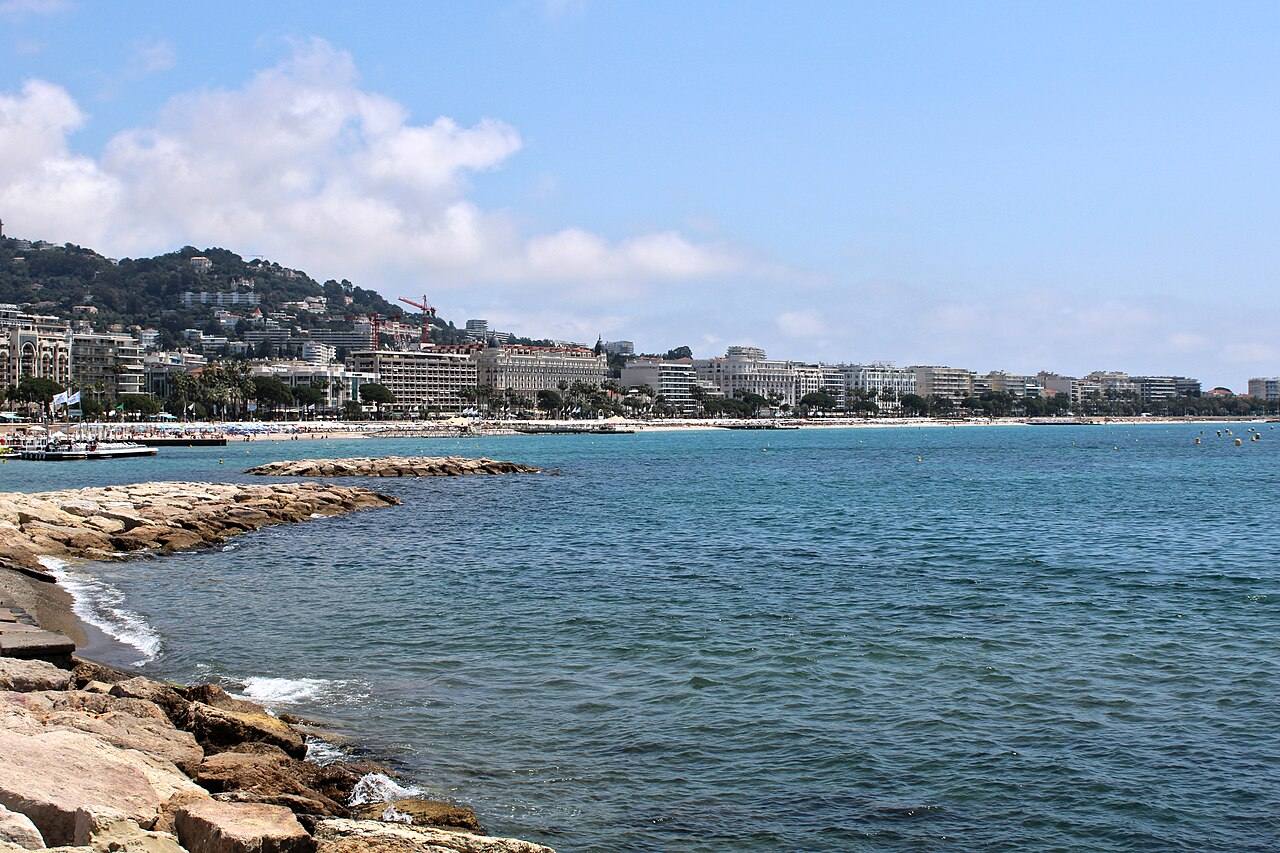
On the coast, the alert window is already open. According to the chronology of the Météo-France bulletins, reported in the same way by Riviera Radio and by the ActuRadar record, the wave and coastal flooding alert runs from Tuesday at 8 pm to Wednesday at midday. Wednesday morning is therefore the exposed period in Cannes, as along the whole shoreline of the department, from the Croisette beaches to the harbours and seafront promenades. The episode comes only a few days after Storm Charles, which dropped close to 140 millimetres of rain on Cannes on 12 November and made the Béal overflow in the west of the town.
Gusts of 55 to 60 km/h at both ends of the department
The wind comes with the swell. Riviera Radio, detailing the Météo-France forecasts for the department, expects the strongest gusts around Menton, up to 60 km/h, and at Théoule-sur-Mer, immediately west of Cannes, up to 55 km/h, against around 40 km/h in Nice. Wednesday is expected to become windier still, with stronger gusts spreading across the whole department. For wave heights, the prefecture, relayed by FrankrijkActueel, forecasts 2 to 2.5 metres between Nice and Menton. The AlloSurf surf forecast model for the Nice sector gives the same order of magnitude this Wednesday: regular sets of 1.5 metres and biggest sets that can reach 2.5 metres, with a south-south-westerly swell.
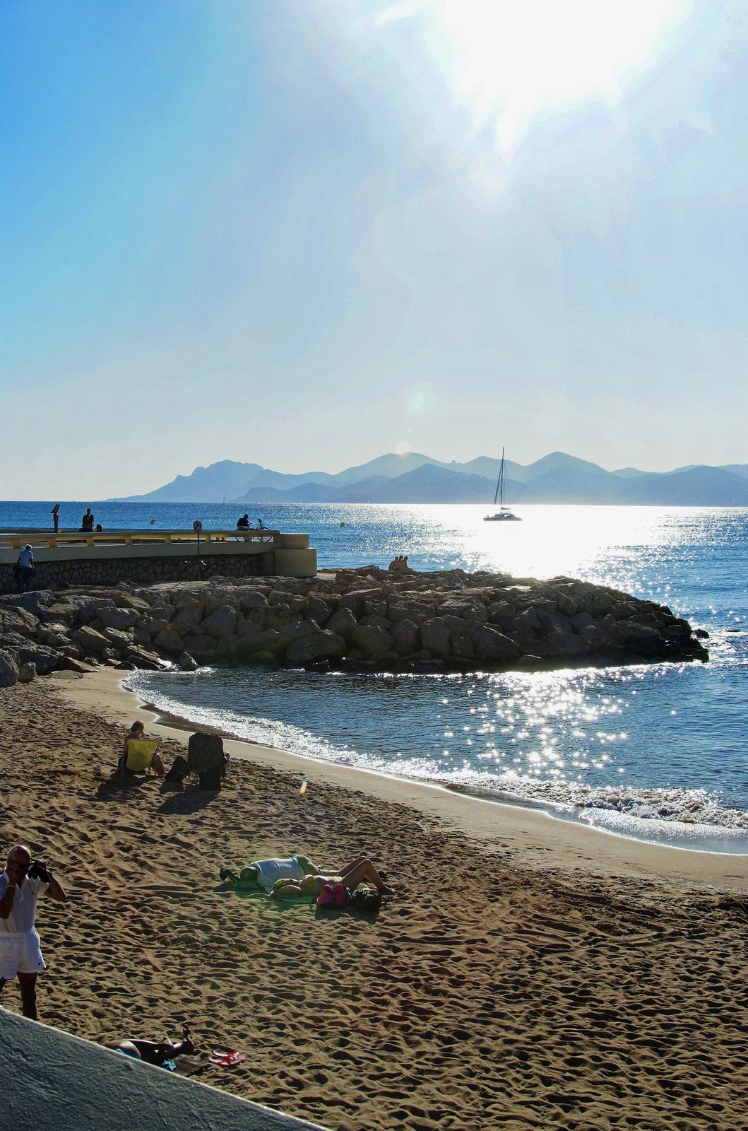
The phenomenon is not confined to the French Riviera. In the same Tuesday 4:01 pm bulletin, Corse-du-Sud is also under a yellow alert for waves and coastal flooding, combined with wind, and three departments on the Atlantic coast, Gironde, Landes and Pyrénées-Atlantiques, are also listed for this risk. On the Mediterranean coast, however, the Alpes-Maritimes is the only mainland department concerned this Wednesday, as the Var does not appear in the bulletin’s list of departments under vigilance.
In Nice, beaches and the coastal path closed from Tuesday evening
The first concrete measure came from Nice. The city announced the closure of all its beaches and of the coastal path from Tuesday at 5 pm, faced with the risk of dangerous waves, a measure reported the same day by the local press and by FrankrijkActueel. No equivalent measure was found in Cannes in the sources consulted this morning. The guidance that applies along the whole department coastline remains that of the yellow level: stay cautious near beaches, harbours and seafront promenades, do not approach a rough sea, and follow official guidance until the alert ends, at midday on Wednesday.